Oeschinensee: The Alpine Amphitheater
Glacial Hydrology and Geology
Oeschinensee is widely regarded as one of the most striking mountain lakes in the Alps. Situated at 1,578 meters, the lake is fed by glacial meltwater originating from the surrounding 3,000-meter peaks, specifically the Blüemlisalp, Oeschinenhorn, and Fründenhorn. This subterranean and surface meltwater carries high concentrations of glacial flour (finely ground rock particles), which refracts sunlight and grants the lake its signature deep, opaque turquoise coloration.
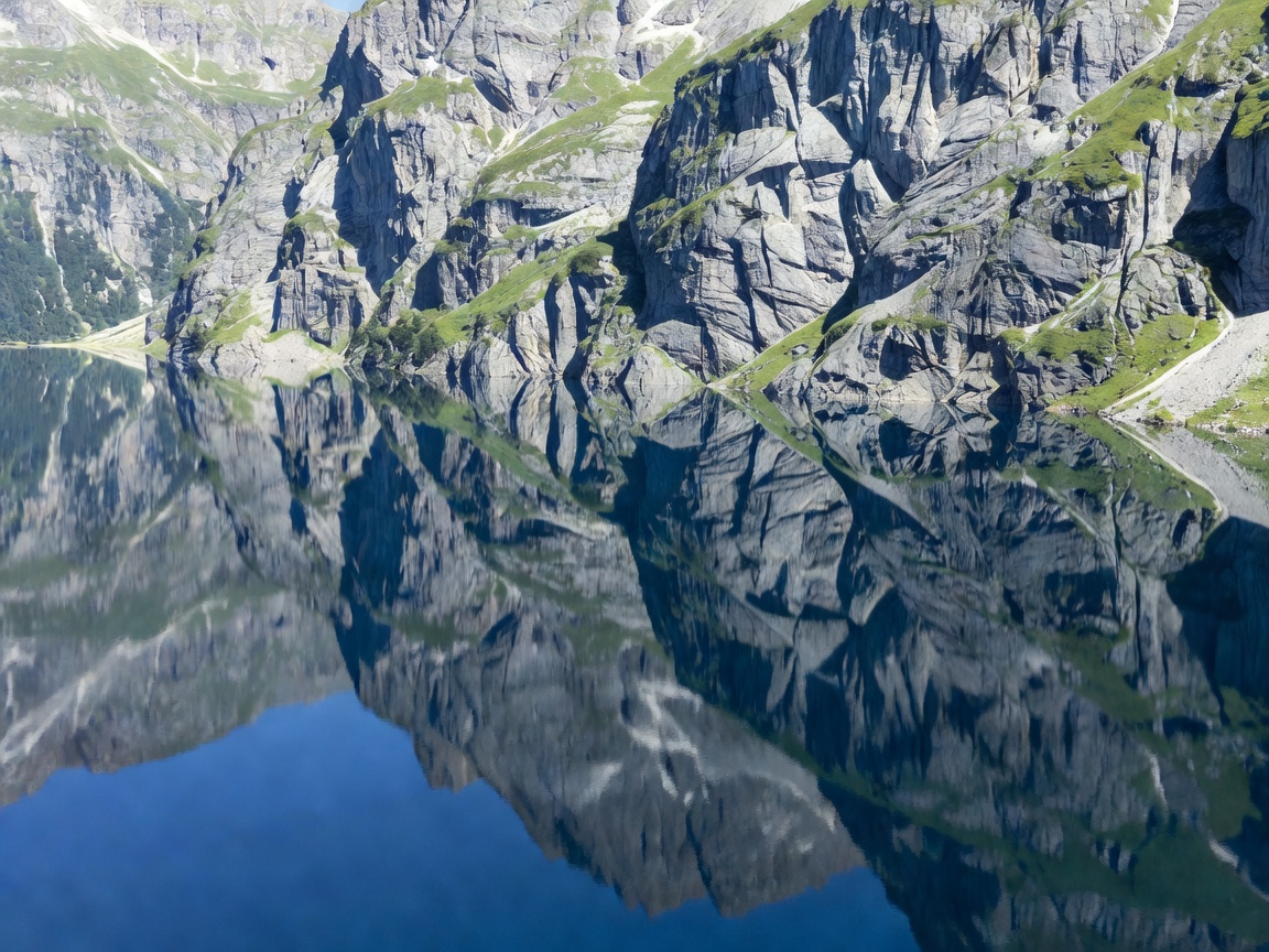
The topography surrounding the lake forms a massive natural amphitheater. The northern and eastern edges of Oeschinensee meet sheer rock walls that plunge vertically hundreds of meters into the water, while the western and southern shores slope more gently into pine forests and alpine pastures. This dramatic juxtaposition of vertical rock and horizontal water creates a highly concentrated visual focal point.
UNESCO World Heritage Designation
The lake and its surrounding massifs are part of the Jungfrau-Aletsch UNESCO World Heritage site. The designation protects the unique geological formations and limits excessive commercial development on the shores. The water temperature rarely exceeds 20°C (68°F), even in peak summer, though swimming is permitted. During winter, the lake freezes over completely and is often utilized for ice fishing and winter hiking trails across the frozen surface.
Elevated Viewpoints: The Panorama Hike
While the view from the shoreline is impressive, the definitive panoramas of Oeschinensee are obtained from the elevated hiking trails that traverse the cliffs above. The most renowned route is the Heuberg Panorama Trail.
This trail climbs the steep slopes on the northern side of the lake, routing hikers along narrow ledges (well-secured and safe for experienced walkers). As the trail gains elevation, the lake's color intensifies, and the sheer scale of the Blüemlisalp glacier becomes fully visible behind the water. The viewpoint at Heuberg offers a looking-down perspective that cannot be achieved from the lake shore, transforming the flat expanse of water into a vibrant pool set deep within a rocky crater.
Key Viewpoint Access Points
| Viewpoint Level | Access Method | Visual Characteristic |
|---|---|---|
| Lake Shore (West) | 25-minute walk from Gondola | Water-level, looking up at sheer cliffs. Best for reflections. |
| Heuberg Viewpoint | Steep 1.5-hour hike | Elevated, top-down perspective. Intense water coloration. |
| Fründenhütte Trail | Challenging 2.5-hour hike | Alpine perspective, close proximity to the glacier edge. |
Access and Logistics
Access to the area begins in the village of Kandersteg. From there, an 8-seater gondola transports visitors up to the top station at 1,682 meters. From the gondola station, the lake is not immediately visible; it requires a mostly flat, 25-minute walk through pine forests and meadows to reach the shoreline. An electric shuttle bus operates on this path during the summer months for those with limited mobility.
Adjacent to the gondola top station is a popular summer toboggan run (Rodelbahn), offering 750 meters of track. While an enjoyable diversion, the primary focus of any visit should remain the lake itself and the network of high-altitude trails that border it.